


|
Land Pro Seminars – FEMA Flood Insurance Studies and Maps—Correspondence
Course Description – “FEMA Flood Insurance Studies and Maps” Course No. 7531 6 HR. Continuing Education Credit in General Category Instructor: David Melvin, PLS, CFM
“FEMA Flood Insurance Studies and Maps” is a six hour course that teaches how to read, use, and understand FEMA’s National Flood Insurance Program (NFIP) Flood Insurance Studies and Flood Insurance Rate Maps.
This course manual is composed of material taken from existing publications as follows:
FEMA Publication 480 – Feb. 2005 Unit 3 – NFIP Flood Studies & Maps Unit 4 – Using NFIP Studies & Maps Sample Flood Insurance Study for Flood County, USA by FEMA
Portions have been abridged, and section / figure numbers changed for clarity.
Course Topics – “FEMA Flood Insurance Studies and Maps”
· Flood Insurance Rate Maps – Old and New · Floodplain Mapping and Analysis · Coastal Floodplains · Determining Base Flood Elevations · Regulatory Floodways · Flood Profiles · Changing Flood Maps
Course Objectives – “FEMA Flood Insurance Studies and Maps” The objective of “Boundary Surveying Fundamentals” is to present information regarding the use and understanding of flood studies and flood maps developed by FEMA.
Evaluation Method – “FEMA Flood Insurance Studies and Maps - Correspondence” A twenty question written examination will be used to determine if the course objectives have been met. The student must achieve a minimum of 70 percent correct answers in order to receive Land Pro Seminars’ Continuing Education Credit Certification.
Evaluation Method – “FEMA Flood Insurance Studies and Maps” For Instructor-Led / Classroom seminars the instructor will determine if course objectives have been met by the use of directed questions and practical problems that attendees will answer and discuss during the class.
Detailed Outline and Timeline– “FEMA Flood Insurance Studies and Maps”
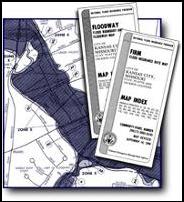
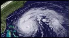
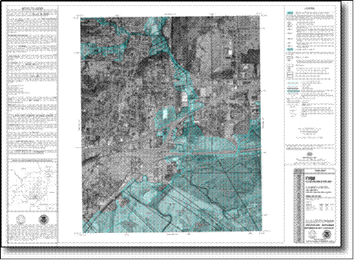
1. FEMA Flood Insurance Studies · Flood Study Terminology · Identifying Flood Prone Areas 2. Riverine Studies · Cross Sections · Flood Profiles · Floodplain Maps · Floodway Analysis 3. Coastal Flood Studies · Storm Surge and Waves · Coastal High Hazard Areas · Coastal Floodplain Maps 4. Shallow Flooding Studies 5. Approximate Studies 6. FEMA Maps · General Map Features · Map Indexes · Flood Hazard Boundary Map (FHBM) · Flood Insurance Rate Map (FIRM) - Old Format (Pre 1986) · Flood Boundary and Floodway Map (Floodway Map) - Old Format (Pre 1986) · Flood Insurance Rate Map—New Format (Since 1986) · FIRMs with Coastal and Lake Floodplains · FIRMs with Flood Protection Projects · Countywide FIRMs · Digital FIRMs 7. Using FIS Report · FIS Report ContentsLocating a Site · Using Flood Data and Tables · Coastal and Lake Elevations · Relating Report Data to Maps and Profiles 8. Using Flood Maps · Locating a Site · Determining Stationing · Base Flood Elevations from Maps · Locating the Floodway Boundary 9. Using Profiles · Profile Features · Determining Base Flood Elevations · Relating Profiles to Maps 10. Maintaining and Revising FEMA Maps · Changing NFIP Maps · Types of Changes · Requesting Map Changes |